-
Mobile Version
Scan with Mobile
- Member Center
Product Introduction
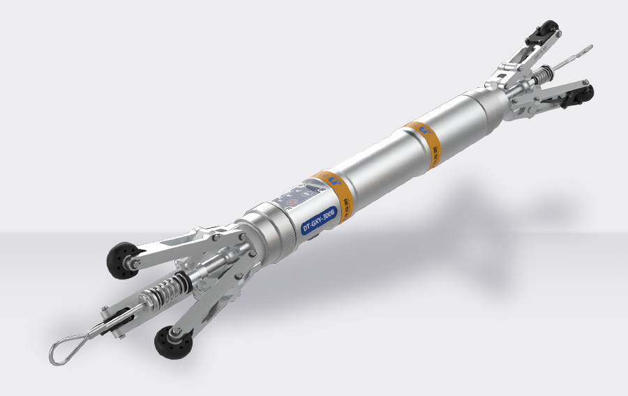
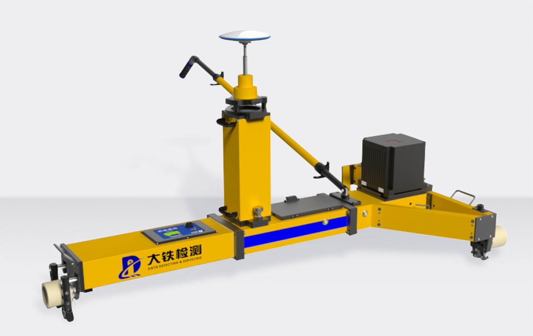
The GNSS Inertial Guidance Rail Geometry Measurement Device (AIS800G) is a precision measurement product for rail geometry status that utilizes the Beidou and GPS-assisted inertial navigation system to achieve rapid, mobile measurement. The biggest highlight of this product is that it performs "absolute + relative" measurement of conventional railway tracks based on satellite control and GNSS reference stations.
Product Features
Innovative Operation Mode
The combination of GNSS and inertial guidance is innovatively introduced into the detection of existing railway tracks. Field operations are simple, easy to learn, and do not require professional training.
Fast and Convenient Operation
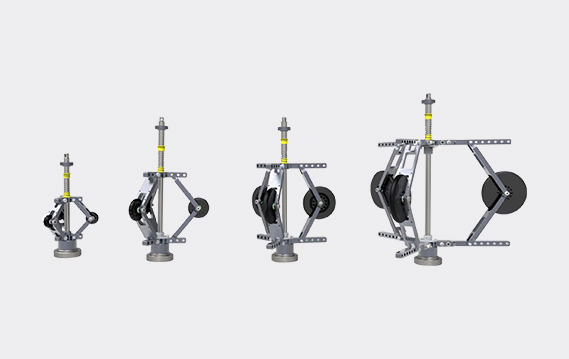
The product features modular design, which makes it easy and quick to install and disassemble on the track. The software interface is simple and user-friendly, with one-click data processing and a comprehensive error-tolerant mechanism.
High Measurement Accuracy
The system can achieve a repeatability of 0.2mm for gauge and superelevation detection, and a repeatability of 1mm for track direction, level, and long and short wave irregularities. The absolute detection accuracy based on CPI/CPII/global coordinate system can reach 15mm.
High Measurement Efficiency
By pushing the equipment along the track, the measurement task can be completed. The pushing speed does not exceed 20km/h, with no low-speed restrictions. Each maintenance window allows for 6 to 10km of work (pushing, 2-hour window).
Advanced Data Processing
With a high-precision inertial navigation system at its core, the product applies advanced multi-source data fusion technology to achieve centimeter-level absolute detection accuracy and sub-millimeter-level relative detection accuracy in dynamic mode.
Strong Adaptability
The system has excellent adaptability to climate and mechanical structure.
Specifications
Performance Indicators | ||
Gauge | Measurement Range (Standard 1435, customizable 1000, 1067, 1520/24, 1600, 1668/76) | 1400mm~1480mm |
Line Measurement Repeatability | ≤0.2mm | |
Gauge Variation Rate Measurement Repeatability | ≤0.03% | |
Superelevation | Measurement Range | -225mm~225mm |
Line Measurement Repeatability | ≤0.2mm | |
Twist Measurement Repeatability | ≤0.375mm | |
Odometer (Optical Counter) Error | ±1‰ (can be corrected in real-time by GNSS) | |
GNSS Mileage | 2cm, no accumulation | |
Track Direction | 2mm/10m | |
Elevation | 2mm/10m | |
Resolution of Main Parameters | ||
Gauge, Superelevation | ≤0.01mm | |
Track Direction, Elevation | ≤0.01mm | |
Absolute Position Parameters | ≤0.0001m | |
Relative Position Parameters | ≤0.01mm | |
Basic Parameters | ||
Temperature Range | -25℃~+50℃ | |
Relative Humidity | 0~95%, non-condensing | |
Operation Efficiency | 3~5km/h (manually pushed) | |
Inertial Guidance Data Update Frequency | 200Hz | |
Working Time | >8h | |
System Absolute Accuracy | Better than 15mm (excluding GNSS reference station error) | |
Operation Mode | Single-vehicle dynamic continuous operation | |


Long Press to Scan QR Code
Scan QR Code